Trent Valley Staffordshire Management Catchment
Operational catchments
There are 5 operational catchments in this management catchment.
Filter map layers
Data
Protected Areas
Catchment Partnerships Pages
To view the catchment partnership pages switch to the river basin management plan
About
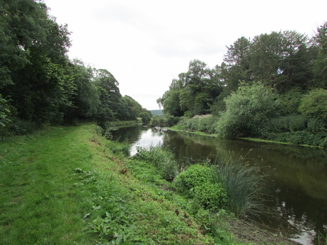
The catchment covers the River Trent and its tributaries from north of Stoke-on-Trent to Trents confluence with the Tame near Alrewas. The Trent and Mersey Canal follows the course of the Trent through the catchment joining the River for a short section at Alrewas. The catchment also includes sections of other canals most notably the Staffs and Worcester and Shropshire Union. The upper stretch of the Trent flows through the urban conurbations of Stoke-on-Trent and Newcastle-under-Lyme and is joined by a number of smaller urban tributaries. The rural Trents main tributaries are the Rivers Sow and Blithe. The River Sow rises in the north-west of the catchment, flows south-west through Stafford joining the Trent near Shugborough. The Penk rises to the north-west of Wolverhampton and joins the Sow at Stafford. The Blithe rises to the East of Stoke-on-Trent and flows south-east joining the Trent at Nethertown. The river is impounded at Blithfield Reservoir where the water is abstracted for public water supply by South Staffordshire Water. The lower section of the Trent and tributaries comprises of a somewhat fragmented landscape of urban development intermixed with pastoral and arable land. Cannock Chase Area of Outstanding Natural Beauty lies to the southern edge of the catchment. The east of the catchment forms part of the National Forest, a landscape scale project that is looking to blend ancient woodland with new planting. The River Swarbourn flows through the National Forest joining the Trent at Wychnor.