Northumberland Carboniferous Limestone and Coal Measures Operational Catchment
Water bodies
There are 1 water bodies in this operational catchment.
This catchment crosses the border with Scotland. To access data and information on the Scottish side of the border, visit River basin management planning | Scottish Environment Protection Agency (SEPA).
Filter map layers
Data
Protected Areas
About
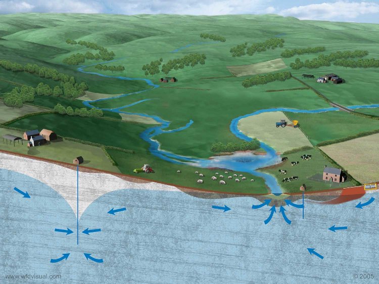
This groundwater body is designated as a drinking water protected area and is utilised throughout the catchment for small local, private supplies. It is currently at poor status due to polluted minewater, known as Chirm discharge, impacting the Maglin Burn, a tributary of the River Coquet. Cost benefit analysis has concluded that it is not cost beneficial to remediate the pollution due to the high costs of minewater treatment schemes and the small length of stretch impacted (<1 km). As such, it is predicted that the groundwater body will remain at poor status.