Coquet Upper Operational Catchment
Water bodies
There are 14 water bodies in this operational catchment.
Filter map layers
Data
Protected Areas
About
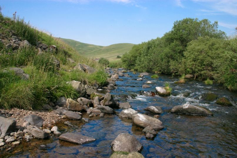
The Upper Coquet operational catchment spans an area from the Cheviot Hills to the village of Sharperton. The main river in this operational catchment is the River Coquet although many smaller tributaries contribute to the flow including the River Alwin, the Wreighburn and Barrow Burn.