Derwent Tyne Operational Catchment
Water bodies
There are 11 water bodies in this operational catchment.
Filter map layers
Data
Protected Areas
About
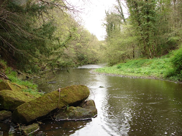
The River Derwent flows from the North Pennine Moors SAC to the tidal limit between Blaydon and Whickham. Urban areas such as Consett, Rowlands Gill, Shotley Bridge and Burnopfield are located in the lower half of the operational catchment with moorland and Derwent Reservoir dominating the landscape upstream.