Glens Operational Catchment
Water bodies
There are 6 water bodies in this operational catchment.
Filter map layers
Data
Protected Areas
About
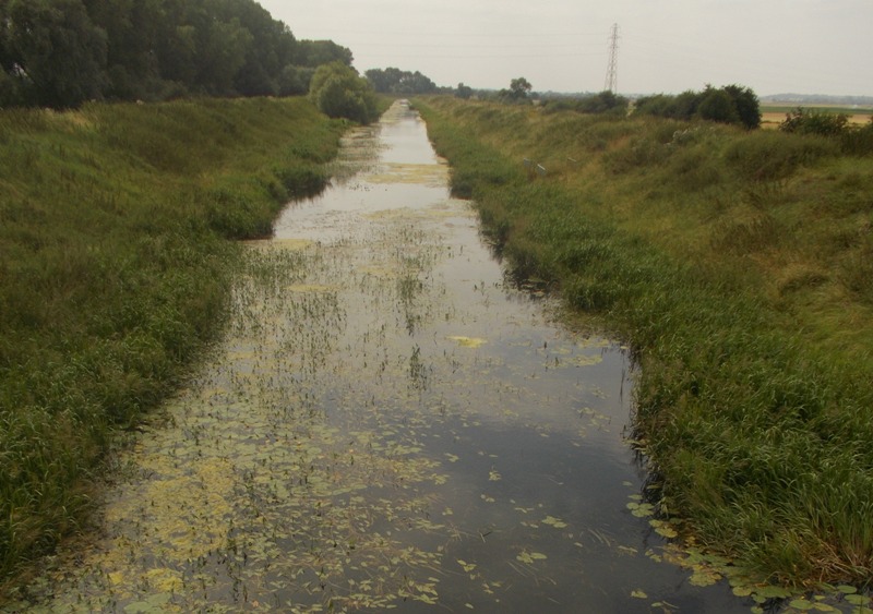
The Glen consists of two tributaries, East and West Glen, which join near Greatford to form the Glen, an embanked waterbody that flows across the Fens into the tidal Welland at Surfleet. The East and West Glens flow through an important limestone aquifer, used for potable abstraction. Both tributaries dry up in places during dry periods and lose water to natural swallow holes. The main Glen is an important water source for agricultural use. The flow is augmented at Essendine with water released from Rutland Water. It is used as a coarse fishery nearer to Pinchbeck and has limited boating.