Lee Lower Rivers and Lakes Operational Catchment
Water bodies
There are 27 water bodies in this operational catchment.
Filter map layers
Data
Protected Areas
About
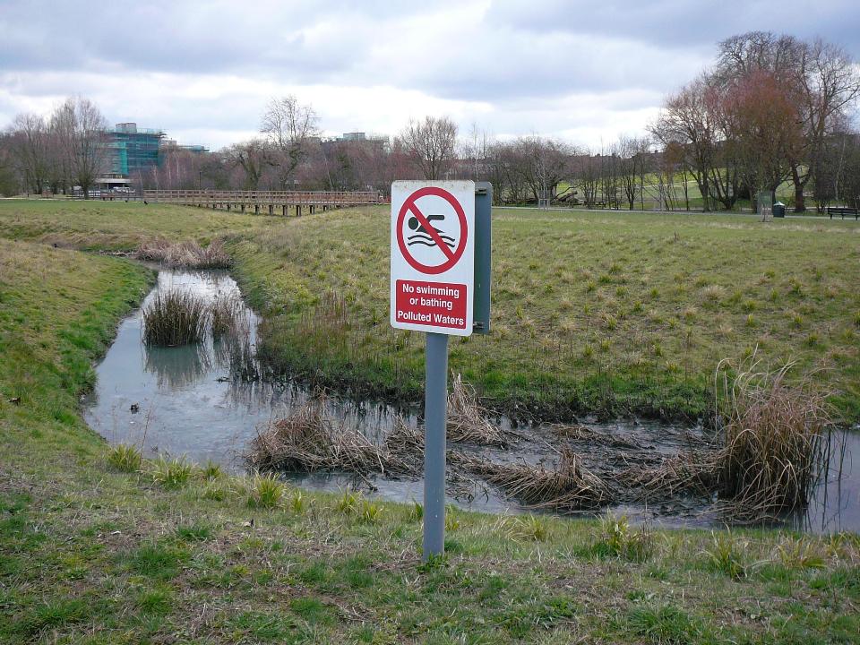
The Lower Lee catchment is predominantly heavily urbanised and stretches from Hoddesdon in Hertfordshire, down through the Olympic Park to the Tidal reaches of the River Thames in East London. Years of industrial use, the pressures of urban development and a lack of care have left the rivers of the Lower Lee in an unloved and extremely poor condition. This has led to very poor water quality and destruction of habitat for wildlife.