Plym Operational Catchment
Water bodies
There are 5 water bodies in this operational catchment.
Filter map layers
Data
Protected Areas
About
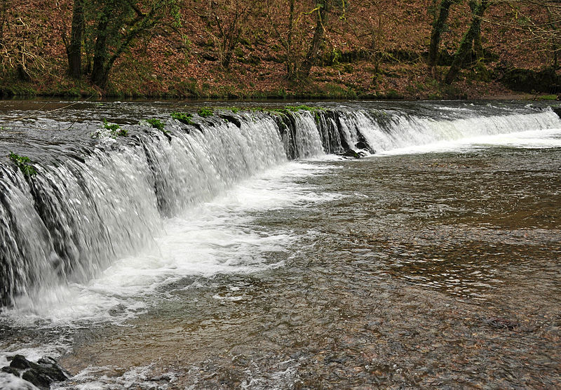
The Plym rises on Dartmoor and flows south west past china clay workings at Shaugh Prior to the junction with the Meavy. Flowing through a steep, often wooded valley to the edge of Plymouth, it enters the estuary at Marsh Mills.