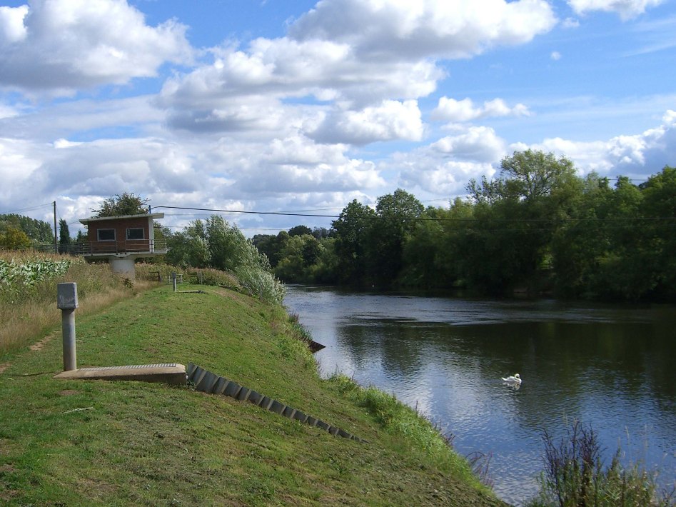
Severn River Worcestershire Operational Catchment
Water bodies
There are 13 water bodies in this operational catchment.
Filter map layers
Data
Protected Areas
About
The catchment covers the River Severn from the confluence with the River Worfe south of Telford, to the confluence with the River Teme south of Worcester.