Test Upper and Middle Operational Catchment
Water bodies
There are 12 water bodies in this operational catchment.
Filter map layers
Data
Protected Areas
About
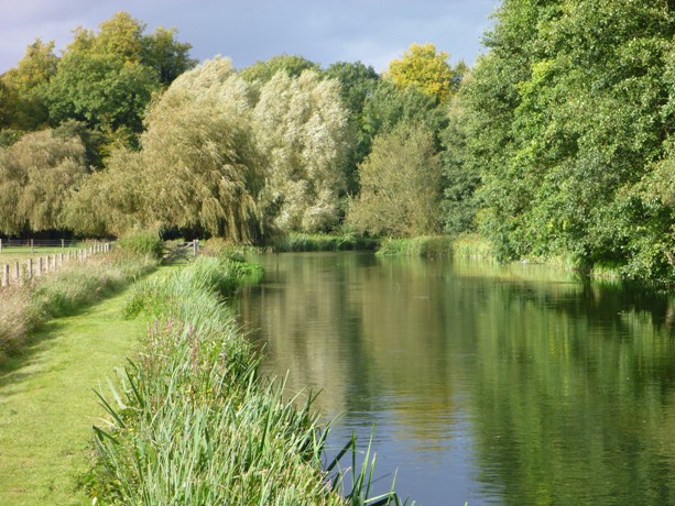
This catchment covers the Test from its source at Ashe, down-stream to Mottisfont, before the confluence with the Dun. Throughout its length, it flows down a gentle gradient through a broad flood plain flanked by mainly arable farmland with some grazing on the valley floor. The Test gains water from underlying chalk and several ephemeral tributaries. It is designated a Site of Special Scientific Interest, along with a section of the Dever, and is a highly managed and modified system, with many sections divided into main river and carriers, which historically served a network of mills and water meadow systems.