Wandle Operational Catchment
Water bodies
There are 2 water bodies in this operational catchment.
Filter map layers
Data
Protected Areas
About
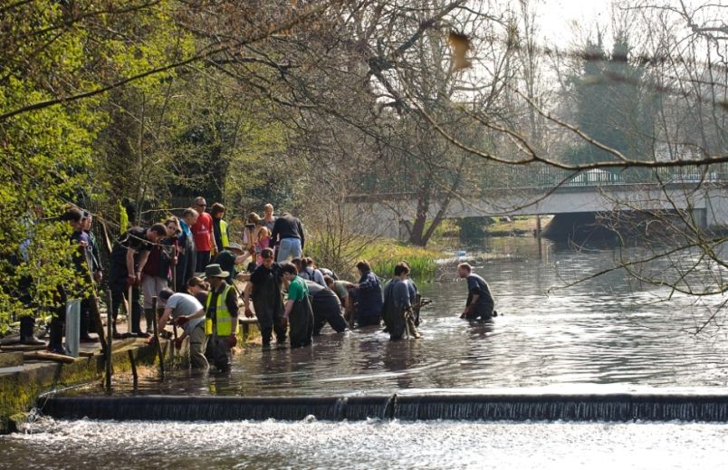
The Wandle is a lowland river which rises from chalk springs below the North Downs and meanders 23.5km north through its 200km2 catchment to join the tidal Thames at Wandsworth. Historically it was extensively modified for industrial, ornamental and flood risk management purposes. Today, thanks to numerous parks and the Wandle Trail, access is better than many comparable urban rivers, and the Wandles corridor through the boroughs of Croydon, Sutton, Merton and Wandsworth provides valuable blue-green recreational space for c800,000 Londoners. The river is subdivided into two fluvial surface water bodies: the Carshalton water body and the Croydon-Wandsworth water body.