Weaver Upper Operational Catchment
Water bodies
There are 37 water bodies in this operational catchment.
Filter map layers
Data
Protected Areas
About
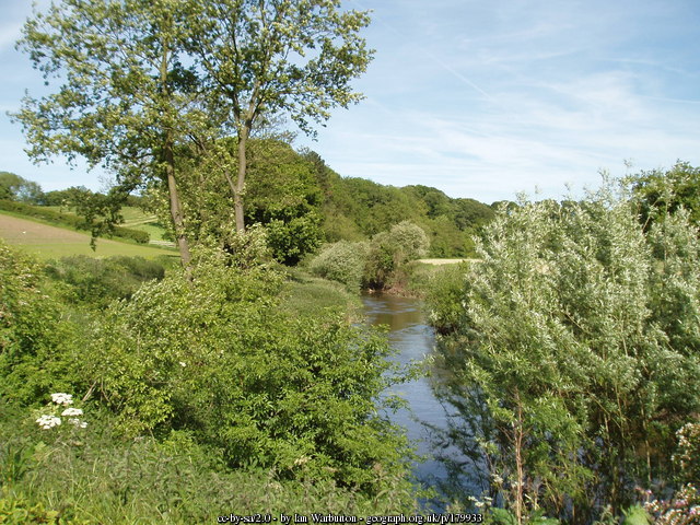
The Upper Weaver Operational Catchment is located in South Cheshire and is dominated by agricultural land. The main rivers in this catchment include the River Weaver and Valley Brook. The River Weaver flows through dairy farmed areas of Cheshire, through Nantwich and onto Winsford where it becomes impounded and navigable. There are a number of lakes within this operational catchment that form part of the Meres and Mosses Nature Improvement Area which is an important landscape for wildlife and contains a number of important protected habitats. Many of these meres and mosses are fed by groundwater in permeable sands and gravels. All river water bodies eventually drain into the Lower Weaver Operational Catchment and eventually into the Mersey Estuary.