Worfe River Operational Catchment
Water bodies
There are 8 water bodies in this operational catchment.
Filter map layers
Data
Protected Areas
About
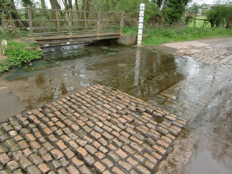
The River Worfe consists 140 km of watercourses between Telford to the west, and Wolverhampton to the east. The catchment covers approximately 258 km2, with its headwaters northeast of Telford, flowing south and joining the River Severn just north of the town of Bridgnorth. The catchment is predominantly rural with agriculture the main industry.