Ure Middle and Lower Operational Catchment
Water bodies
There are 20 water bodies in this operational catchment.
Filter map layers
Data
Protected Areas
About
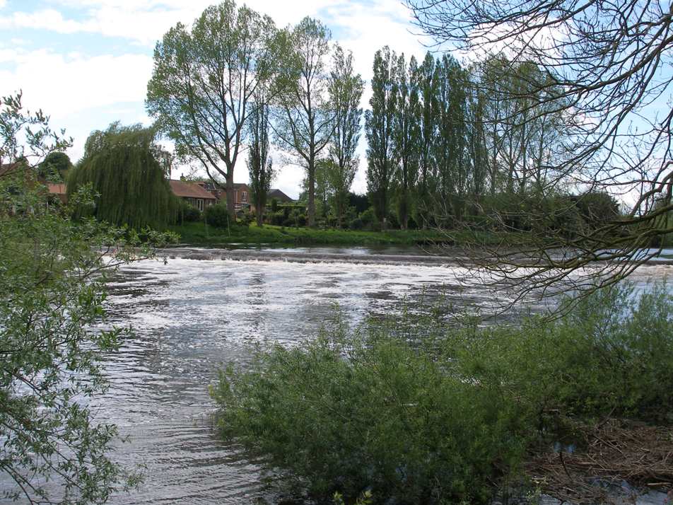
Many of the smaller tributaries in the north west of the catchment touch the edges of the North Pennine Moors and are heavily influenced by the peatlands. The river Ure winds its way south-east to the small market town of Masham, then through a number of small settlements to Ripon and Boroughbridge. Nun Monkton marks the south point of the catchment, although the river runs further. There is a mix of rural farm land, and wooded valleys. In many places the main river and its tributaries have been dammed to create lakes.