Arun Upper Operational Catchment
Water bodies
There are 14 water bodies in this operational catchment.
Filter map layers
Data
Protected Areas
About
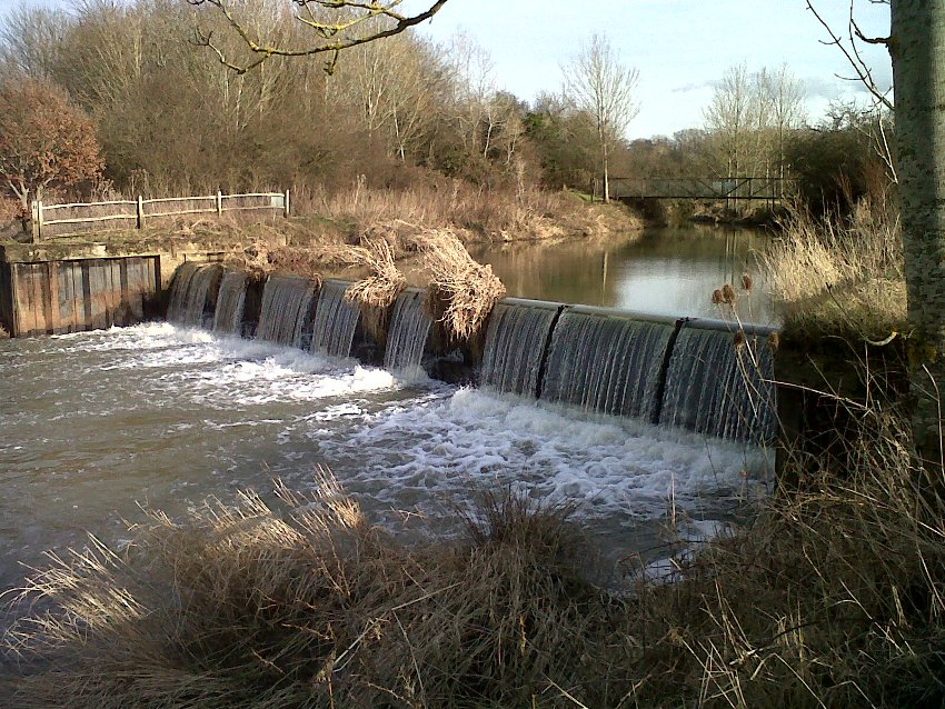
The Upper Arun operational catchment is predominately the non-tidal reach rising to the north east of Horsham and flowing south until Pulborough at its confluence with the river Rother. Apart from the town of Horsham, the catchment area is largely rural, with most land under agricultural use. The biggest impacts on the water environment in the sub catchment relate to fish and water quality. There are many structures in the Upper Arun which prevent fish movement through the river system, and a number of large sewage treatment works which reduce water quality.