Devon South Management Catchment
Operational catchments
There are 4 operational catchments in this management catchment.
Filter map layers
Data
Protected Areas
Catchment Partnerships Pages
To view the catchment partnership pages switch to the river basin management plan
About
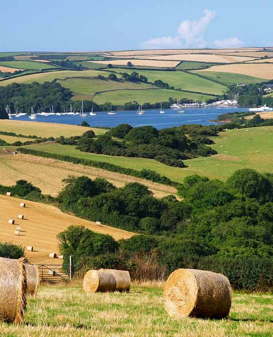
The South Devon Management Catchment includes the Rivers Avon, Dart, Erme and Teign and the Salcombe and Kingsbridge Estuary. All four rivers rise in the Dartmoor National Park and large areas of the management catchment fall within the South Devon Area of Outstanding Natural Beauty and South Devon Heritage Coast. The area contains a wide diversity of habitats from the granite uplands of Dartmoor to the softer lowland landscape and estuaries of the South Hams and the coastal regions. There are a number of designated sites, including those for Bathing Waters, Shellfish Waters, Drinking Water Protected Areas and Nitrate Vulnerable Zones. The high quality of the environment is reflected by numerous National Nature Reserves, Sites of Special Scientific Interest and Special Areas of Conservation.