Wey and Trib Management Catchment
Operational catchments
There are 1 operational catchments in this management catchment.
Filter map layers
Data
Protected Areas
Catchment Partnerships Pages
To view the catchment partnership pages switch to the river basin management plan
About
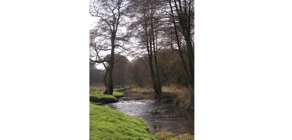
The River Wey flows off the South Downs and through the North Downs and the Surrey countryside. As such the landscape is a mix of rural with urban centres like Guildford. The River Wey is a southern tributary of the River Thames and rises as two main headwaters which have very different habitats, the North Wey near Alton and the South Wey near Haslemere. The main river shares water with the Wey Navigation which can reduce the habitat quality for flow dependant species. The Wey Valley contains valuable floodplain grazing marsh, a priority UK Biodiversity Action Plan habitat that provides feeding opportunities for wintering wading birds. The Wey catchment also contains large areas of lowland heathland, which is important internationally. Protected species include otters that are slowly returning to the Wey catchment, while numbers of water voles are decreasing, mainly because of mink in the area. Native brown trout can be found in the catchment, mostly in the headwaters.