Gowy Operational Catchment
Water bodies
There are 8 water bodies in this operational catchment.
Filter map layers
Data
Protected Areas
About
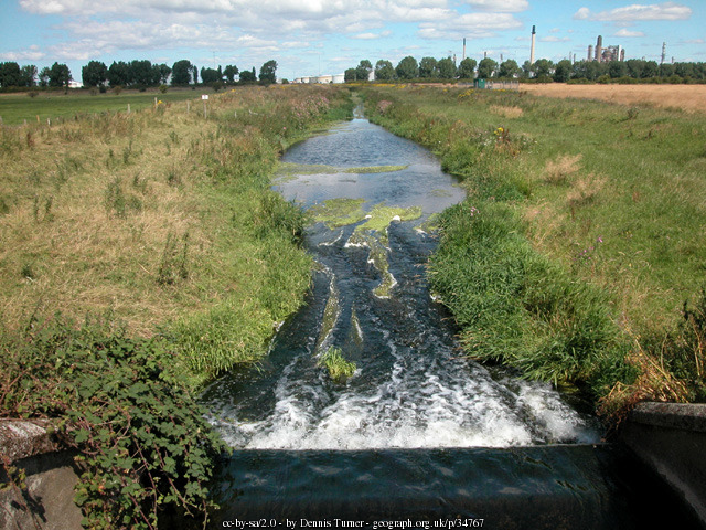
The Gowy Operational Catchment starts in south west Cheshire. The main rivers in the catchment include the River Gowy and Ashton Brook. Ultimately the catchment drains into the Mersey Estuary at Ellesmere Port. Over the course of the River Gowy, the landscape of the catchment changes dramatically. The south of the catchment has a distinctive rural sandstone landscape. As the river flows north, the landscape becomes open flood plain. The catchment is largely rural (dairy & beef farming) but industry lines the banks of the River Mersey. Groundwater drinking water supplies have been designated as a Safeguard Zone within this catchment.