Mole Lower and Rythe Operational Catchment
Water bodies
There are 14 water bodies in this operational catchment.
Filter map layers
Data
Protected Areas
About
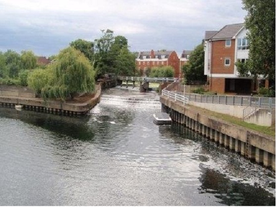
The Lower Mole sub catchment includes the Mole north of Horley to where it meets the Thames at Molesey. It also includes tributaries further down the catchment to the north and west. Characterised as a lowland river, the catchment also includes the Surrey Hills ANOB where the river cuts its way through the North Downs near Box Hill. Although heavily altered in places, there are large areas of the river that are semi natural and flow through beautiful Surrey countryside. The Rythe, which is not actually connected to the Mole, is also included within this operational catchment.