Hull and East Riding Management Catchment
Operational catchments
There are 6 operational catchments in this management catchment.
Filter map layers
Data
Protected Areas
Catchment Partnerships Pages
To view the catchment partnership pages switch to the river basin management plan
About
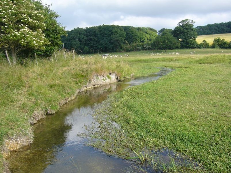
The Hull and East Riding comprises sparsely populated areas, stretching from the seaside resort of Bridlington in the north to Holderness in the south and from Market Weighton in the west to Withernsea in the east. The Yorkshire Wolds curve in a crescent shape from the chalk cliffs at Flamborough to the Humber Estuary at Hessle. The largest urban area is the city of Hull where there is a major port with strong trade links to Europe, Scandinavia and the Baltic. There are large areas of arable land in the Wolds.