Maidenhead and Sunbury Management Catchment
Operational catchments
There are 1 operational catchments in this management catchment.
Filter map layers
Data
Protected Areas
Catchment Partnerships Pages
To view the catchment partnership pages switch to the river basin management plan
About
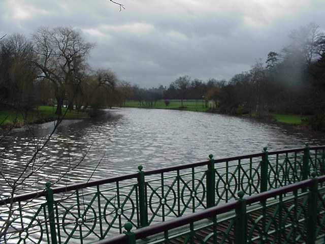
The Lower Thames catchment covers the River Thames between Hurley and Teddington, a distance of 64.5 km. The catchment area extends over 422 km2. It includes areas of south-west London, rural areas of Berkshire, Buckinghamshire and Surrey, and the suburban towns of Maidenhead, Windsor, Slough, Bracknell, Staines, Walton-on-Thames, Sunbury and Teddington. Included in the Lower Thames catchment are the river tributaries of the Thames including Bull Brook, the Cut, Chalvey Ditch, Salthill Stream, Roundmoor Ditch and Boveney Ditch.The Lower Thames is a very urbanised catchment with a large stretch of the navigable Thames. The major challenges are physical modifications and pollution from waste water and urban runoff. Changes to water bodies, including over 61 major weir structures and man made river bank protection has reduced and damaged the natural habitat. Free fish movement is also affected. Changes to a structure or restoring river banks are expensive, so it is important to prioritise work that will bring the most improvement for everyone.