Thames and Chilterns South Management Catchment
Operational catchments
There are 2 operational catchments in this management catchment.
Filter map layers
Data
Protected Areas
Catchment Partnerships Pages
To view the catchment partnership pages switch to the river basin management plan
About
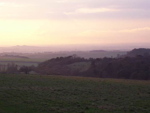
The main rivers in the Thame and South Chilterns management catchment include the Thame, Thames, Wye and Pang and their numerous tributaries. The principal towns are Aylesbury, Thame, High Wycombe, Henley-on-Thames and Wallingford. The river Thame is a relatively slow-flowing river with occasional in-channel runs and riffles. Though it meanders for much of its length, many of its tributaries have been extensively modified by straightening and dredging and are relatively narrow, shallow streams. The river itself supports fisheries and several still waters have high fish populations. The Thame catchment is predominantly rural in character, the majority of its land being agricultural in use and its floodplain given over to livestock grazing. Most of the catchment is underlain by impermeable clays in which there is little significant groundwater flow. South Chilterns area has chalk springs that give rise to the river Wye north-west of High Wycombe. Flowing through the town, the river has been heavily modified and culverted in places and is urban for the majority of its length. It is nevertheless an important chalk stream where trout can be seen in its urban reaches.