Beult Operational Catchment
Water bodies
There are 10 water bodies in this operational catchment.
Filter map layers
Data
Protected Areas
About
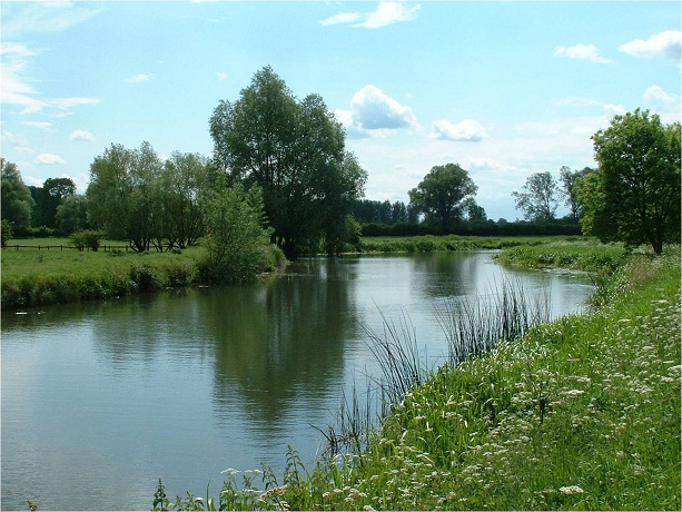
The Beult Catchment rises west of Ashford. It flows through the small towns of Headcorn and Staplehurst. Above Yalding it is joined by the River Teise where it enters the Medway. It is mostly a rural catchment consisting of a mixture of agricultural and horticultural land.