Ivel Operational Catchment
Water bodies
There are 20 water bodies in this operational catchment.
Filter map layers
Data
Protected Areas
About
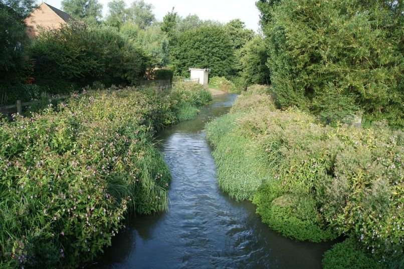
The River Ivel catchment is bounded by the Chiltern Hills to the south and Greensand Ridge to the North. The River Ivel and River Flit, and some tributaries, rise from springs in the Chiltern chalk. Several smaller watercourses (Running Waters, Chicksands Brook and Millbridge-Common Brooks) rise from the Woburn Sands aquifer. The River Ivel headwaters are dominated by the North Hertfordshire towns of Hitchin, Letchworth and Baldock. Other towns are Ampthill, Biggleswade and Sandy. Elsewhere the catchment is rural with agriculture and horticulture. The catchment is noted for its angling interest, water vole and otter populations and important wetland habitats.