Waveney Operational Catchment
Water bodies
There are 20 water bodies in this operational catchment.
Filter map layers
Data
Protected Areas
About
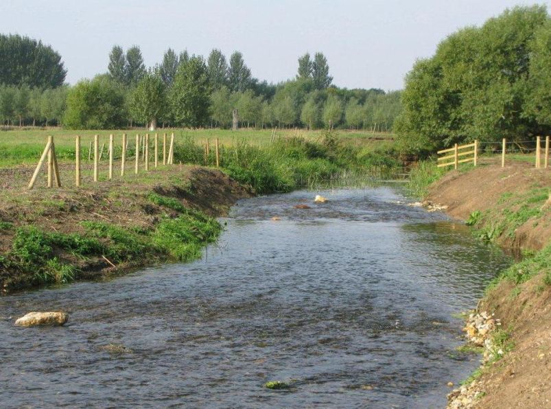
The source of the river Waveney is in the Regrave and Lopham Fen NNR, from where it travels east through the towns of Diss, Harleston, Bungay and Beccles. Finally the Waveney flows past Burgh castle into Breydon Water joining the river Yare to reach the sea at Great Yarmouth. The Waveney branches off to Oulton Broad towards Lowestoft where a sea lock divides sea water, linking Oulton Broad with Lake Lothing and the sea. Parts of the river Waveney fall within the Broads NP and for much of its length forms the boundary between the counties of Norfolk and Suffolk.