Stour Lower Operational Catchment
Water bodies
There are 9 water bodies in this operational catchment.
Filter map layers
Data
Protected Areas
About
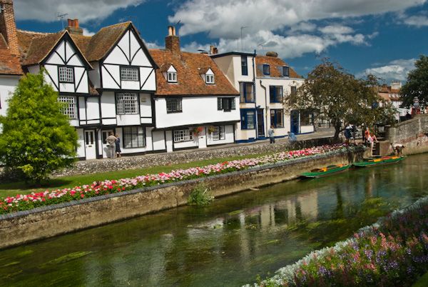
Historic Canterbury has World Heritage sites. Here the river divides to form a series of islands. There were once eleven mills; there are still a number of water level control structures. The river is popular with tourists who can take to the water in punts or canoes. Angling is also important.