Skerne Operational Catchment
Water bodies
There are 12 water bodies in this operational catchment.
Filter map layers
Data
Protected Areas
About
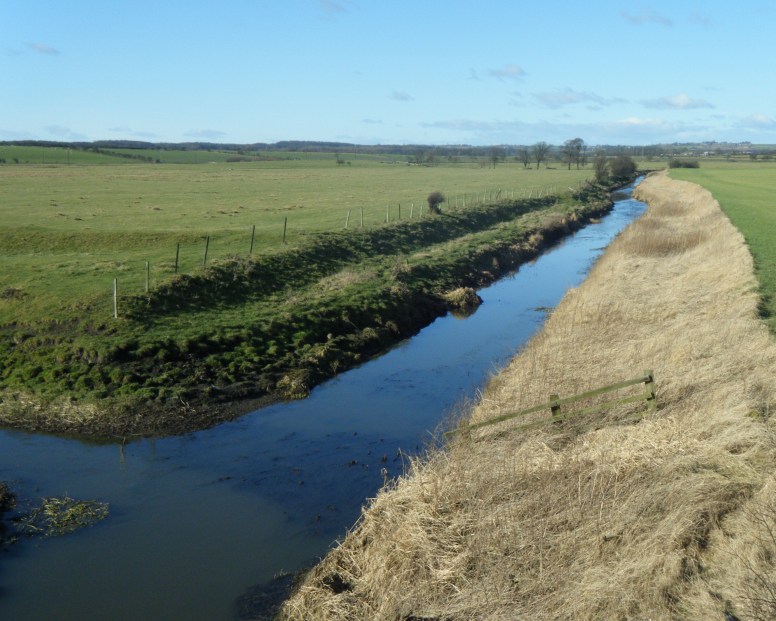
The Skerne rises near Trimdon Village where it is impounded at Hurworth Burn reservoir just upstream of natural swallow holes. Variable thicknesses of impermeable drift and groundwater levels produce a complex pattern of flow interaction. Rivers have been diverted and channelised for the purposes of agricultural land drainage. Villages such as the Trimdons, Fishburn, Ferryhill and Chilton and the more industrial Newton Aycliffe discharge sewage and trade effluents. The river continues south where it is heavily modified through the centre of Darlington before joining the Tees at Croft-on-Tees.