Nidd Upper Operational Catchment
Water bodies
There are 10 water bodies in this operational catchment.
Filter map layers
Data
Protected Areas
About
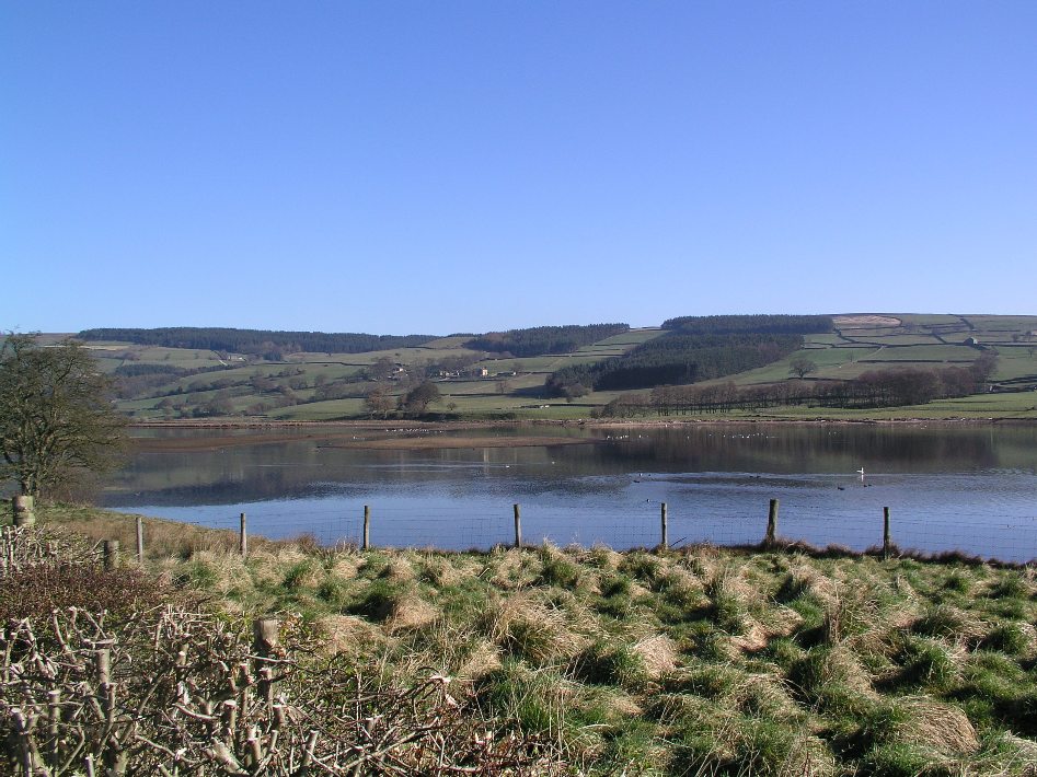
The catchment is entirely within the Nidderdale AONB, with the Yorkshire Dales National Park to the west. The river Nidd rises at Nidd Head Spring on Great Whernside in the Yorkshire Dales and within the first few miles is dammed three times to form Angram, Scar Houseand Gouthwaite reservoirs. The land surrounding the reservoirs is a mixture of rough pasture & heather moorland, managed primarily for sheep and grouse. The river flows on through the small market town of Pateley Bridge, the main population centre in the area, towards the village of Birstwith.