North Devon Management Catchment
Operational catchments
There are 3 operational catchments in this management catchment.
Filter map layers
Data
Protected Areas
Catchment Partnerships Pages
To view the catchment partnership pages switch to the river basin management plan
About
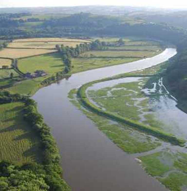
The North Devon catchment has diverse landscapes from the Sandy beaches of the coast to the moorland of Exmoor. It is environmentally rich, containing a number of designated sites, including Braunton Burrows SAC, Sites of Special Scientific Interest, wet Culm grassland, and areas of ancient woodland. The catchment forms part of the North Devon Biosphere Reserve transition zone. Land use in the catchment is very rural with significant agriculture; tourism is important for the economy throughout the coastal areas and Exmoor.