North Norfolk Rivers Management Catchment
Operational catchments
There are 1 operational catchments in this management catchment.
Filter map layers
Data
Protected Areas
Catchment Partnerships Pages
To view the catchment partnership pages switch to the river basin management plan
About
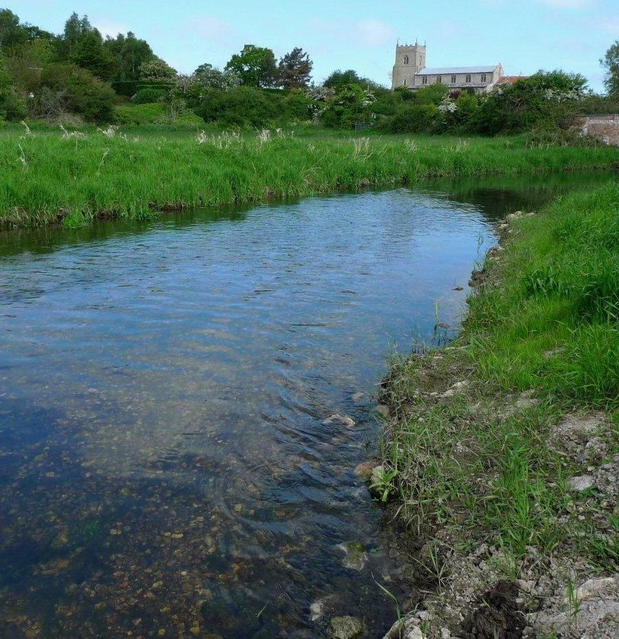
The North Norfolk Rivers catchment comprises a relatively narrow strip of land along the North Norfolk coast covering approximately 450 km2. The catchment is predominantly rural, with the largest urban areas being the coastal towns of Cromer, Sheringham and Wells-next-the-Sea, and the market town of Holt. A large proportion of the land in the catchment is farmed, and the agricultural productivity of the area is nationally important. This brings associated pressures on land use and water availability.