North West Norfolk Management Catchment
Operational catchments
There are 1 operational catchments in this management catchment.
Filter map layers
Data
Protected Areas
Catchment Partnerships Pages
To view the catchment partnership pages switch to the river basin management plan
About
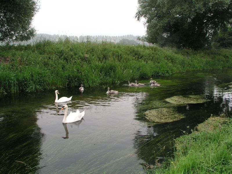
The North West Norfolk catchment comprises an area of approximately 1,000 km2 which stretches northwards from Denver Sluice, Downham Market to Kings Lynn, Hunstanton and Brancaster. The River Great Ouse is flanked by the Relief Channel flows from the south to the Wash in north. The Smeeth Lode drains the low lying fenland area from Emneth to Terrington St Clements and is characterised by high value agricultural land and manmade land drainage systems pumped to the River Great Ouse. From the east the rivers (Heacham, Ingol, Babingley and Nar) flow from springs in the chalk uplands towards the coast and the Wash. The North West Norfolk catchment is mainly rural with a population of approximately 109,000. The countryside is predominantly arable land and is gently undulating. About a quarter of it is classified as high quality land and is considered an important national and local resource. In the first river basin management plan the catchment was split into two operational catchments, North West Norfolk and Smeeth Lode. Our investigation programme has showed that the waterbodies within Smeeth Lode were not truly freshwater but are influenced by the sea. Therefore, in cycle 2, Smeeth lode will be changed to a coastal catchment.
