Cornwall West and the Fal Management Catchment
Operational catchments
There are 5 operational catchments in this management catchment.
Filter map layers
Data
Protected Areas
Catchment Partnerships Pages
To view the catchment partnership pages switch to the river basin management plan
About
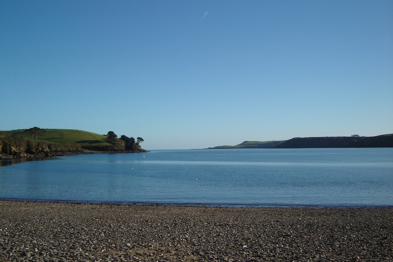
The West Cornwall and Fal catchment includes the rivers Fal, Cober, Hayle and Par along with numerous small coastal streams and the Fal estuary complex. Most of the rivers are fairly small and rise in upland areas defined by granite intrusions such as Goss Moor and Penwith. Parts of the landscape fall within the Cornwall Area of Outstanding Natural Beauty (AONB) mainly in the coastal areas. There are a number of designated sites, including those for bathing waters, shellfish waters, drinking water protected areas, SAC, SPA, SSSIs and nitrate vulnerable zones.