Ancholme Operational Catchment
Water bodies
There are 14 water bodies in this operational catchment.
Filter map layers
Data
Protected Areas
About
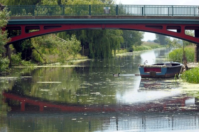
The Ancholme operational catchment includes the main River Ancholme and its tributaries. The catchment is rural with agriculture being the main use of land. As the river flows to the Humber Estuary, the land use changes, with industry making use of the estuarine location. The River Ancholme provides a navigable route to the Humber and has many other recreational uses. The Ancholme catchment is designated as a drinking water protected area to safeguard the drinking water supply at Cadney Reservoir. Barrow and Barton safeguard zones protect groundwater abstractions for public water supply.