Avon Bristol Rural Operational Catchment
Water bodies
There are 73 water bodies in this operational catchment.
Filter map layers
Data
Protected Areas
About
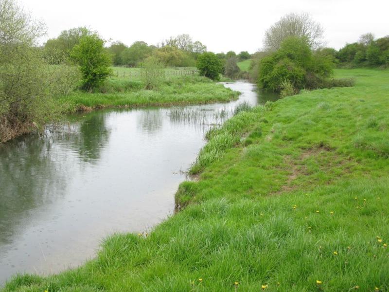
The main Bristol Avon river flows from its source upstream of Malmesbury before flowing into the Severn Estuary. This Operational Catchment covers the majority of the catchment area except for the urbanised corridor that runs from Trowbridge through Bath before reaching Bristol. Land use is mainly agricultural with arable farming with some sheep grazing (upper catchment) and dairy and beef (lower catchment). Land drainage schemes have significantly altered the catchment in order to intensify agriculture. River control structures, private weirs and historical mill structures have significantly impacted on river continuity. There are many statutory designations within the catchment including Chew Valley Lake which is a Special Areas of Conservation and Special Protected Area (SPA/SAC). The catchment includes parts of the Cotswolds, Cranborne Chase & West Wiltshire Downs, Mendip Hills and North Wessex Downs Areas of Outstanding Natural Beauty.