Ditton Operational Catchment
Water bodies
There are 4 water bodies in this operational catchment.
Filter map layers
Data
Protected Areas
About
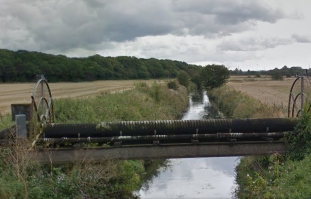
The Ditton Operational Catchment covers from Crosby, through Liverpool to Prescot and back down to Widnes. Ditton Brook itself is approximately 4 miles long and fed by Netherley Brook that flows from Huyton to Widnes. Other water bodies are Prescot Brook and Dog Clog Brook. Ditton Brook flows through a large industrial area, once dominated by the chemical industry, and much of the land is contaminated. The rest of the water bodies flow through greenbelt dominated by parks, golf courses and agriculture. The main issue in this operational catchment is diffuse pollution and the effect of this on the Mersey Estuary.