Evenlode Operational Catchment
Water bodies
There are 18 water bodies in this operational catchment.
Filter map layers
Data
Protected Areas
About
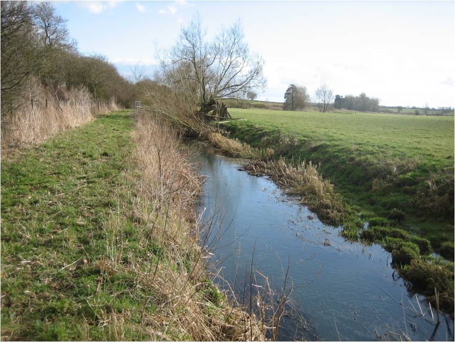
The Evenlode catchment lies to the west of Oxford and is situated in the Northwest of the Thames River Basin. It covers 430km2 and part of the catchment lies within the Cotswolds Area of Outstanding Natural Beauty. The river Evenlode flows in a south-easterly direction through the counties of Gloucestershire and Oxfordshire, from a series of tributaries which converge south of Moreton-in-the-Marsh to the confluence with the River Thames at Cassington. The majority of the upper catchment is on clay, with tributaries rising from limestone on the valley sides. The middle to lower reaches of the Evenlode flow over limestone, and receive a basal groundwater flow. It has several tributaries, the largest being the groundwater fed river Glyme which enters the river Evenlode in its lower reaches at Bladon. It is predominantly a rural catchment with land use dominated by agriculture, particularly arable farming. Several large parkland estates are situated in the Evenlode catchment, the largest of which is the World Heritage Site of Blenheim Palace and its ‘Capability’ Brown landscaped parks and lakes on the river Glyme.