Leadon Operational Catchment
Water bodies
There are 8 water bodies in this operational catchment.
Filter map layers
Data
Protected Areas
About
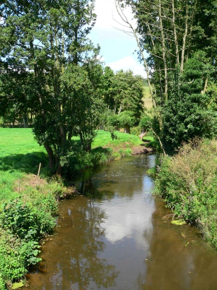
The Leadon catchment is predominantly rural and consists of mixed farming systems including livestock, arable and horticulture. The Leadon and its tributaries flow over a number of aquifers that are subject to potable and commercial abstraction. In addition abstraction on the river for agricultural irrigation exists. Due to these abstractions some of the watercourses are under pressure from low flows.