Hull Lower Operational Catchment
Water bodies
There are 16 water bodies in this operational catchment.
Filter map layers
Data
Protected Areas
About
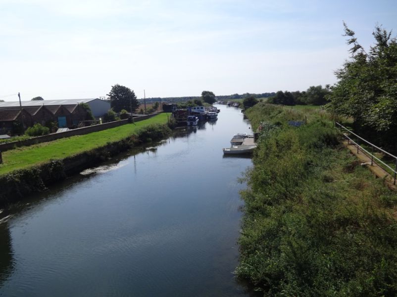
The Lower Hull catchment covers the area from Walton in the north down to the City of Hull and the estuary in the south, Bishop Burton in the west and Great Cowden on the East Yorkshire coast. It contains the urban areas of Hull and surrounding settlements such as Cottingham, Hessle, Willerby and Beverley. Much of the catchment and surrounding land is at or below sea level presenting a significant flood risk from fluvial and tidal sources. The Beverley and Barmston Drain is primarily a land drainage ditch and water levels are managed/ pumped accordingly. The River Hull and Holderness Drain both discharge into the Humber Estuary which is a designated Special Protection Area (SPA), Special Area of Conservation (SAC), a Ramsar Site and a SSSI.