Ouse Lower Yorkshire Operational Catchment
Water bodies
There are 10 water bodies in this operational catchment.
Filter map layers
Data
Protected Areas
About
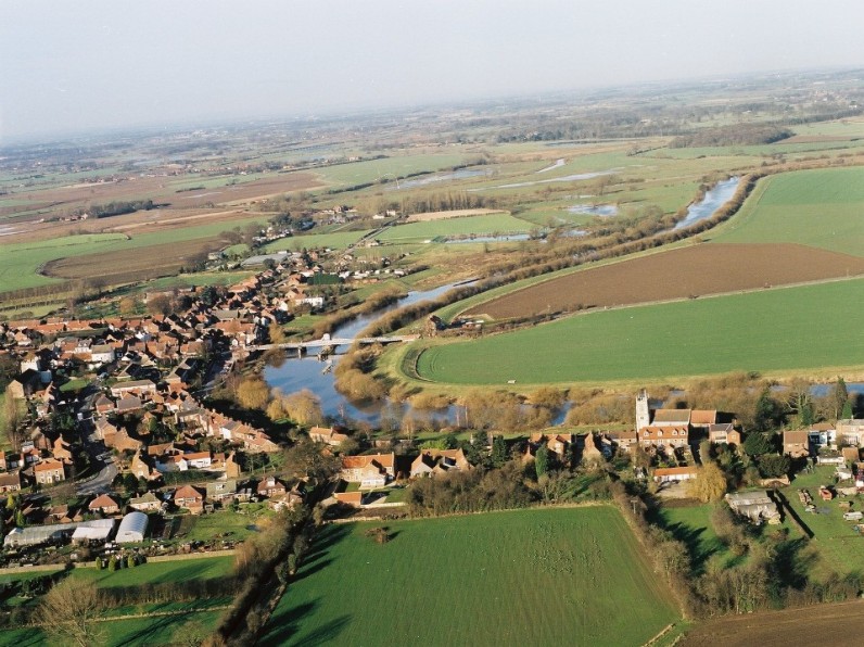
The Lower Ouse operational catchment covers the low lying agricultural land to the south of York beyond Selby including the area around Drax and includes the towns of Micklefield and Sherburn in Elmet to the west. Tributaries include Stillingfleet beck, Fleet Beck, Riccall Dam, Selby Dam, Selby Canal and Holmes Dike. The River Wharfe joins the River Ouse above the village of Cawood and the River Derwent flows in at the tidal barrage at Barmby on the Marsh. Significant water management issues in this catchment include diffuse pollution from rural areas, point source pollution and the effects of physical modifications. Protected areas include Skipwith Common near North Duffield which is a designated SAC.