Ribble Middle - Settle to Calder Operational Catchment
Water bodies
There are 12 water bodies in this operational catchment.
Filter map layers
Data
Protected Areas
About
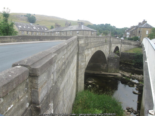
The stretch of the Ribble between Stainforth and the Calder gradually becomes more populated as it moves downstream. There are numerous market towns on the river and its tributaries such as Settle, Clitheroe and Barnoldwick on Stock Beck. There towns bring their own influences on the river environment. There are numerous weirs which restrict wildlife movement. Additionally there are water company sewage treatment works, storm sewer overflows and surface water drains contaminated with household foul drainage.