Ock Operational Catchment
Water bodies
There are 13 water bodies in this operational catchment.
Filter map layers
Data
Protected Areas
About
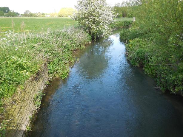
The river Ock and its tributaries flow through the Vale of the White Horse before joining the river Thames at Abingdon. The operational catchment includes the stretch of the Thames, from near Eynsham upstream, to Dorchester downstream. This stretch of the Thames also includes 3 tributaries which drain directly into it; 1 from south Oxford, and 2 from the Didcot area. The principal towns in this area are Oxford, Abingdon, Wantage and Didcot. The Ock drains a predominantly shallow rural clay catchment. It is bordered to the north by a small limestone and sandstone escarpment, and to the south by the chalk ‘Ridgeway’. It is a relatively slow-flowing river with only occasional in-channel runs and riffles, as many of the watercourses have been extensively modified by land drainage and impoundments.