Ribble Estuary Operational Catchment
Water bodies
There are 1 water bodies in this operational catchment.
Filter map layers
Data
Protected Areas
About
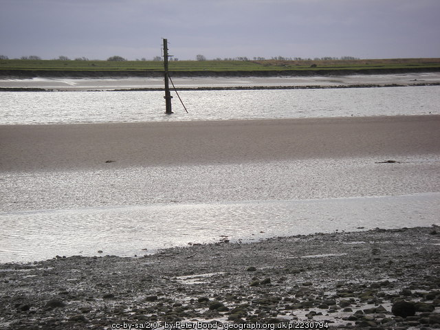
A large proportion of the Ribble and Alt Estuaries SPA is within the Ribble Estuary National Nature Reserve. The site consists of extensive sand- and mud-flats and large areas of saltmarsh. There are also areas of coastal grazing marsh located behind the sea embankments. The intertidal flats are rich in invertebrates, on which waders and some of the wildfowl feed. The highest densities of feeding birds are on the muddier substrates of the Ribble. Improved navigation of the estuary began in the early 19th century and there are numerous modifications. Mitigation measures include developing large areas of saltmarsh.