Stour OC Operational Catchment
Water bodies
There are 21 water bodies in this operational catchment.
Filter map layers
Data
Protected Areas
About
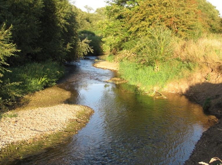
The river Stour rises to the west of Great Bradley in Cambridgeshire and for its most part forms the county boundary between Suffolk and Essex. From its source it flows east to Haverhill, Clare, Sudbury, Nayland, Stratford St Mary and Dedham, becoming tidal just before Manningtree and joining the North Sea at Harwich. The Dedham Vale AONB stretches upstream from Manningtree to within 1 mile of Bures. The Stour is navigable from Cattawade to Brundon Mill. The Stour valley retains a rural landscape with rich diversity of wildlife and habitat as painted by the artists Constable and Gainsborough.