Medway Upper Operational Catchment
Water bodies
There are 12 water bodies in this operational catchment.
Filter map layers
Data
Protected Areas
About
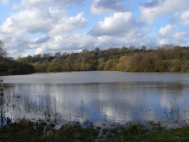
Upper Medway Operational Catchment covers the River Medway from its source at Turners Hill to its confluence with the River Eden at Penshurst. This predominantly rural catchment has agriculture and horticulture, and large urban areas at East Grinstead, Crowbourgh and Tunbridge Wells.