South East River Basin District
Management catchments
There are 12 management catchments in this river basin district.
Filter map layers
Data
Protected Areas
About
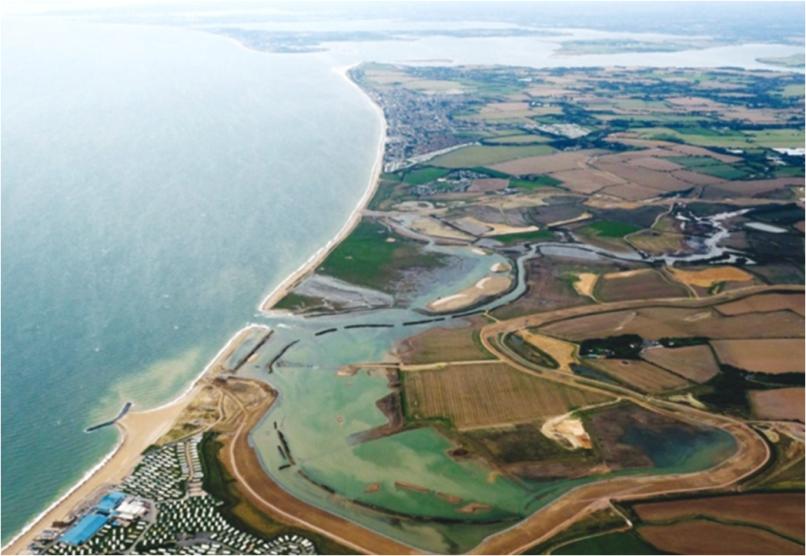
The South East river basin district covers over 10,200km2 and extends from Hampshire in the west to Kent in the east. It includes East and West Sussex, the Isle of Wight and parts of Wiltshire and Surrey. In total over 3.5 million people live and work in the south east, which is densely populated and includes the major urban centres of Southampton, Portsmouth, Ashford, Brighton and Hove. The South East river basin district has a rich diversity of wildlife and habitats, supporting many species of global and national importance. These include migratory salmon rivers, native white clawed crayfish, and estuaries and coastal waters important for shellfish, wintering wildfowl, breeding gulls and terns. The management catchments that make up the river basin district include many interconnected rivers, lakes, groundwater, estuarine and coastal waters. These catchments range from chalk streams of the Test and Itchen catchments to the modified rivers of the Rother catchment. Around 65% of the river basin district is used for farming, including livestock, arable and horticultural businesses. Important sectors contributing to the economy of the district include technology, manufacturing, tourism, financial services and construction.