Arun and Western Streams Management Catchment
Operational catchments
There are 4 operational catchments in this management catchment.
Filter map layers
Data
Protected Areas
Catchment Partnerships Pages
Catchment Partnerships work at a catchment scale to improve local environmental understanding and encourage community participation through collaboration and integration leading to improved actions.
About
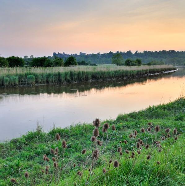
The Arun and Western Streams catchment covers 1,490 square kilometres and mainly lies within the South Downs National Park. It is dominated by the chalk ridge of the South Downs and the sand and clay of the Weald. The catchment includes the Rivers of the Western Rother, the Arun and several small coastal streams which include the chalk fed Ems and Lavant which feed into Pagham and Chichester Harbours. It is a predominantly rural catchment with its key towns being Worthing, Bognor Regis, Chichester, Arundel, Midhurst and Horsham.