Cherwell and Ray Management Catchment
Operational catchments
There are 2 operational catchments in this management catchment.
Filter map layers
Data
Protected Areas
Catchment Partnerships Pages
Catchment Partnerships work at a catchment scale to improve local environmental understanding and encourage community participation through collaboration and integration leading to improved actions.
About
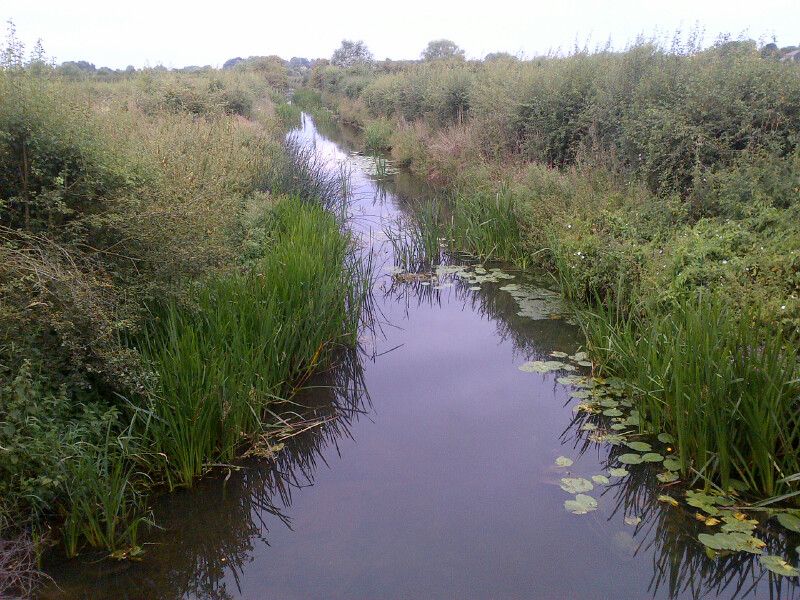
The Cherwell management catchment consists of the River Cherwell and its tributaries, of which the River Ray (Oxon) is the largest. From its headwaters near the village of Charwelton (Northamptonshire), the river Cherwell flows southwards, passing through Banbury and Kidlington before flowing into the Thames at New Hinksey (Oxford). The river Ray has its headwaters near Quainton, from which it flows slowly south-west past Bicester to its confluence with the river Cherwell at Islip. Other than these key urban areas, the Cherwell catchment is very rural, with a high proportion of arable land. The underlying geology is predominantly clay.