Suffolk East Management Catchment
Operational catchments
There are 3 operational catchments in this management catchment.
Filter map layers
Data
Protected Areas
Catchment Partnerships Pages
Catchment Partnerships work at a catchment scale to improve local environmental understanding and encourage community participation through collaboration and integration leading to improved actions.
About
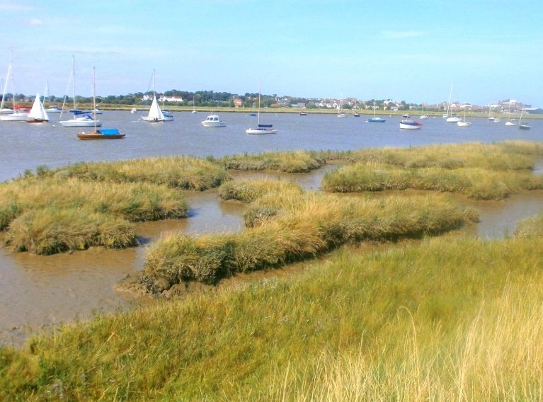
The East Suffolk Rivers area of 1,364 km2 encompasses the valleys, tributaries and estuaries of the Rivers Gipping, Deben, Alde, Thorpeness Hundred, Yox, Blyth and Lothingland Hundred. This area is mostly rural with significant urban areas at Felixstowe, Ipswich, Woodbridge, Wickham Market, Stowmarket, Saxmundham, Halesworth, Southwold and Kessingland. Agriculture is the predominant land use within the area. Other pockets of industry exist, including food processing, milling, malting and the manufacture of farm machinery and fertilisers.