Cam and Ely Ouse Woburn Sands Operational Catchment
Water bodies
There are 1 water bodies in this operational catchment.
Filter map layers
Data
Protected Areas
About
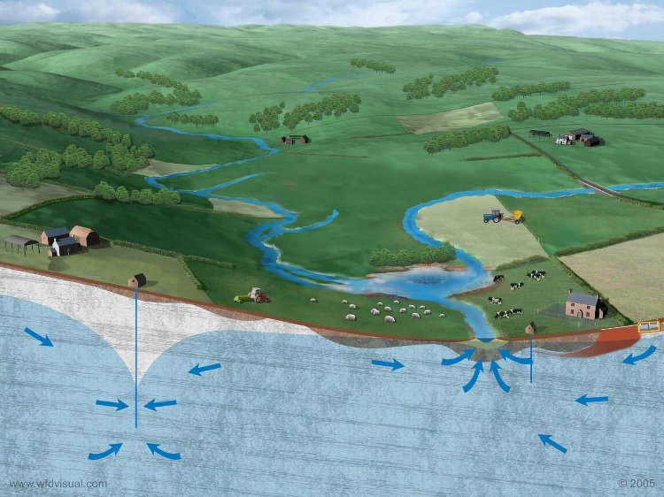
The Cam and Ely Ouse Woburn Sands is a Principal aquifer and a Drinking water Protected Area. The Woburn Sands is confined across most of the groundwater body, with the aquifer only outcropping along the north-western edge. Groundwater flow is usually fairly quick and matrix flow is dominant with some fracture flow. Only the small outcrop is particularly vulnerable to any potentially polluting activity at the surface. It is utilised for public water supplies, as well as industrial, agricultural and small private domestic supplies. Base flow from the aquifer supports a few surface water bodies across the outcrop.