North West Norfolk Sandringham Sands Operational Catchment
Water bodies
There are 1 water bodies in this operational catchment.
Filter map layers
Data
Protected Areas
About
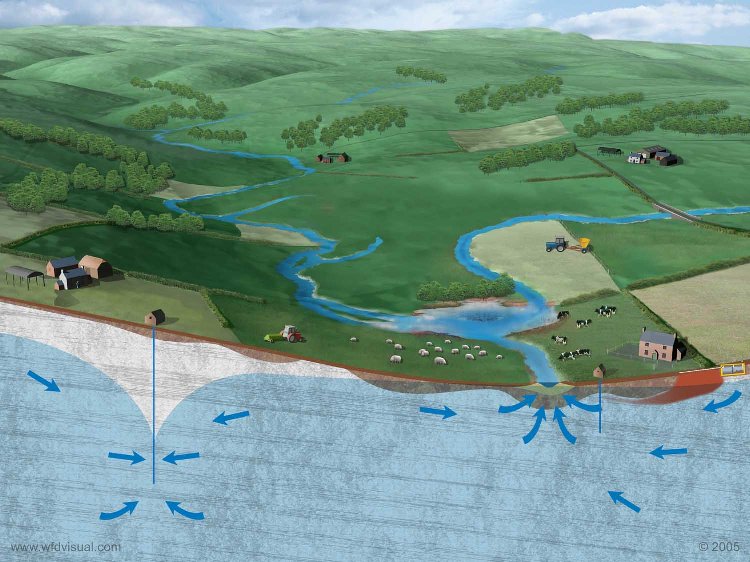
The North West Norfolk Sandringham Sands is a Principal aquifer and a Drinking water Protected Area. The Sandringham Sand is at outcrop across most of the groundwater body with a large variation of drift cover to the, groundwater flow is largely intergranular with some fracturing. The aquifer is highly vulnerable to polluting activity at the surface where the drift cover is absent or permeable. The groundwater body is utilised for public water supplies, as well as agricultural and small private domestic supplies. Base flow from the aquifer will supports surface water bodies across the outcrop.