Barmston Sea Drain Operational Catchment
Water bodies
There are 7 water bodies in this operational catchment.
Filter map layers
Data
Protected Areas
About
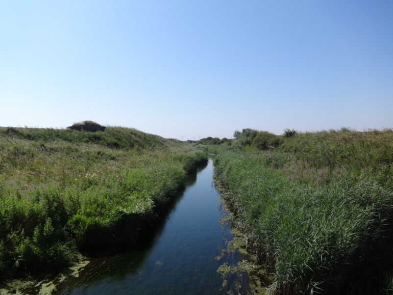
The Barmston Sea Drain catchment covers the area south of Bridlington including the urbanised areas of Skipsea and Hornsea and surrounding settlements such as Rolston and Southorpe with some agricultural land, but the largest feature is Hornsea mere itself. The main watercourse is the Stream Dike which flows from the mere to the North Sea as well as small coastal streams including Barmston Sea Drain, Skipsea Drain and Earls Dyke.